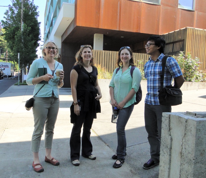
A couple of days after hearing Susan Anderson’s talk at the International Making Cities Livable Conference, I walked through two adjoining Portland neighborhood with four of Portland’s city planners.
To back up a bit, you might recall from my post about Anderson’s remarks, how the city embarked on a comprehensive analysis of how walkable (or not) the city’s various neighborhoods actually were. One of the planners who headed up this effort was Radcliffe Dacanay.

Before we set out, Dacanay pulled out some of the area maps and described the scoring process used.
Why not just go with Walk Score, I asked? As both Dacanay and Marty Stockton explained, residents asked for more information. They were especially interested in our including proximity to transit, since that’s a large part of what enables them to get around the city without needing to use a car.
As Stockton put it, “this information can be used as a tool to advocate for prioritization for infrastructure improvements and focus on areas that don’t have the higher scores. The question facing city officials is where to prioritize infrastructure improvements.”
Dacanay added that “20-minute neighborhoods give us a tool to talk about place and space as an ensemble.”
“We’ve had difficulty,” said Julia Gisler, “in talking about density with our communities. We can now show how building additional housing is important to develop complete, walkable communities. We don’t have to put the discussion in terms of density, but instead say that if you want a more walkable neighborhood, you’ll need more people and more housing close to your commercial hub.”

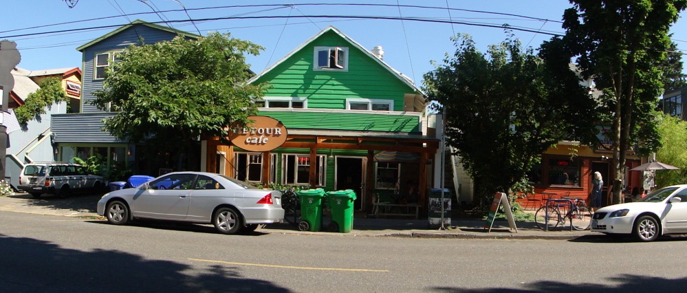
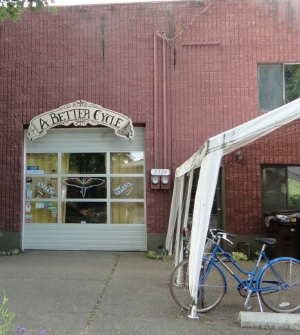
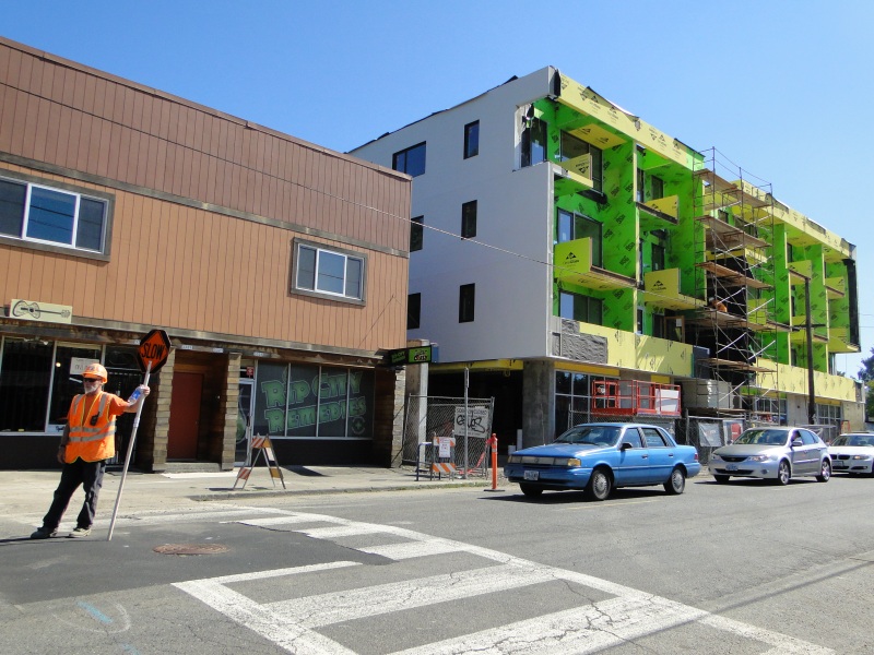
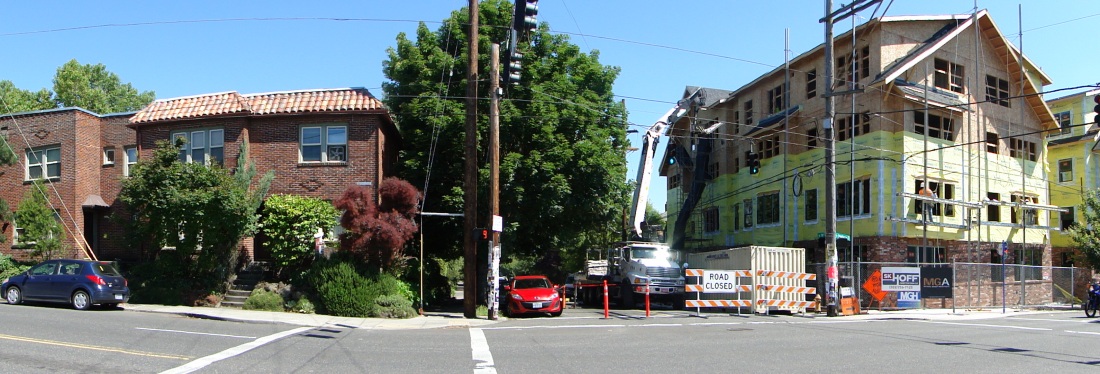
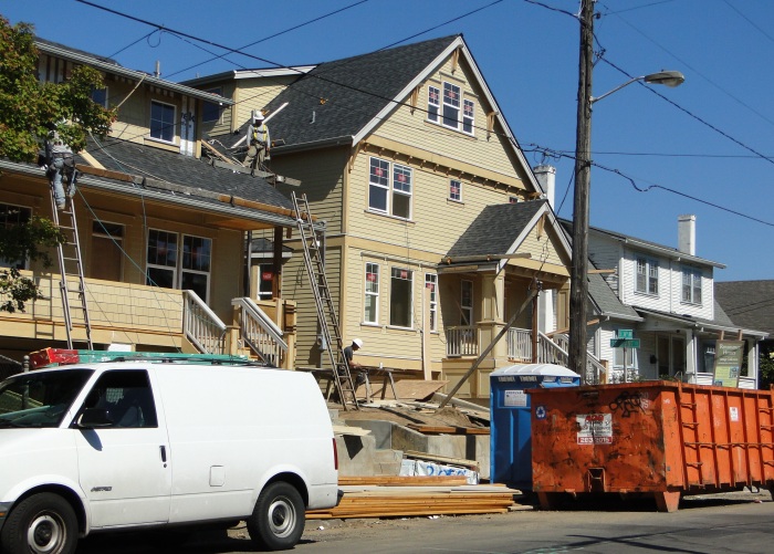
There was certainly plenty of housing, old and new, located close to bus lines in the neighborhoods we walked through; just a few of the photos I took:
We covered a lot of ground during our walk — both literally and in terms of topics we chatted about. I want to highlight a few of them:
Commercial versus Residential
One of the challenges Portland planners face is finding the right balance between commercial uses and residential. On the one hand, there’s a need to preserve the city’s commercial base — and provide job opportunities. On the other hand, there’s the objective of housing more people along corridors, close to groceries, eating places, and other businesses.
This came out when Dacanay pointed to a fairly nondescript building we were passing on Division Street.

“It houses a film studio,” he mentioned, then asked, “will we be threatening uses like this with more and more housing?” In Portland, residential is a permitted use within the city’s commercial zoning classification.
We’ll continue our walk tomorrow, and consider an interesting provision in Portland’s zoning ordinance aimed at both better design and getting new projects approved more quickly. We’ll also take a look at Portland’s commercial bike corrals, and we’ll ask whether there’s a crack in Portland’s image as a walkable city.